World Leaders in Aerial Surveys, Remote Sensing and Geospatial Solutions

OUR TECHNOLOGIES

Lidar Surveys and Orthoimagery
We combine lidar with a digital camera to create a complete, high-speed mapping system.

Satellite Imagery and GIS Services
We offer comprehensive solutions for projects requiring imagery and DEMs with a range of resolutions and accuracies.

Hyperspectral Imaging
Search for specific signatures within imagery to detect different minerals, rocks, soil types and plants.

Thermal Imaging
Our thermal imaging cameras capture electromagnetic infrared radiation to indicate temperature variations.
OUR SECTORS

Mining
We support mine design and planning, rehabilitation monitoring, mineral exploration, and stockpile and pit volume calculations.

Power
Our lidar can be used for power line detail mapping, alignment and profiling, as well as ampacity surveys.

Infrastructure
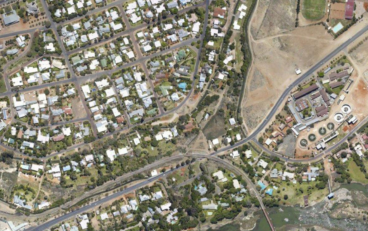
We perform dam site and river surveys, infrastructure design, subsidence monitoring, and site and corridor selection.

Agriculture and Environment
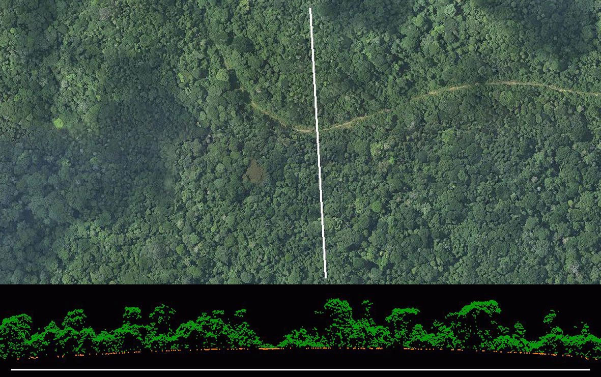
Our services support soil classification, vegetation monitoring and mapping, farm design and agri business.
150 Years of Industry Experience
Southern Mapping Company was formed on 1 December 2006 and became the first independently owned lidar company based on the African continent.
Our philosophy is to provide our clients with rapid delivery of the highest-quality mapping.
Southern Mapping has grown into the leading geospatial service provider on the African Continent. We offer a wide variety of solutions and have become respected for our guaranteed high-quality, on-time product.
Using a variety of technologies, we deliver geospatial information to a range of industries and market sectors. We service projects involving civil engineering and infrastructure development, mineral exploration and mine management, environmental planning and rehabilitation, and urban and agricultural planning.
In addition, we supply imagery and products derived from a full spectrum of satellite sensors. The accuracy of our surveys varies according to client requirements, with specifications ranging from 20cm contours to 2cm contours. Similarly, our image resolution ranges from 100m to 30cm.
Projects Completed
Countries
Featured Projects
Tswana Iron Age Village
Extent: 945 ha
Location: Meyerton, South Africa
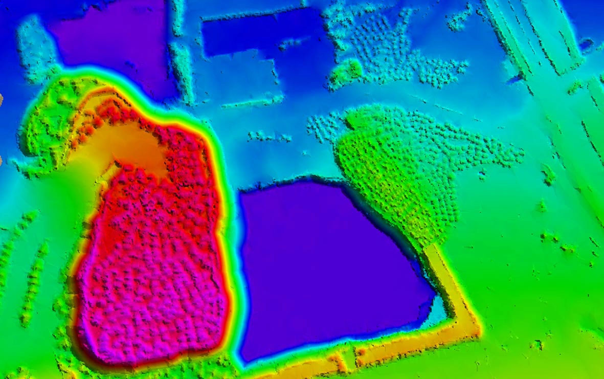
Description: Lidar-derived digital model and digital orthophotos of an archeological site for research
Carbon Audit Project
Extent: 64000 kms
Location: DRC
Description: Lidar-derived ground and top canopy elevation in conjunction with ground surveys and satellite radar to estimate the carbon content of the above-ground tropical forest biomass
Boto Gold Feasibility Project
Extent: 7798 ha
Location: Senegal
Description: Lidar-derived digital elevation model and digital orthophotos for pre-feasibility study (including biomass estimations) of a mining area
Morogoro Railway Line
Extent: 200kms
Location: Tanzania
Description: Lidar-derived digital terrain model and orthophotos for the design and planning of a railway line
Rio Tinto Hyperspectral
Extent: 275000ha
Location: Mozambique
Description: Hyperspectral Imagery, illumination correction, colour balancing, mosaicking and full mineral maps derived with detection of alteration zones
Satellite and Lidar Surveyors for Over 20 Years

Lidar

Thermal

Infrastructure

Orthoimagery

GIS

Agriculture

Hyperspectral

Mining

Environmental

Satellite

Power
What Our Clients Say
City of Cape Town
“…We can recommend Southern Mapping to undertake any landfill airspace survey, volumetric calculation and similar project…”
De Beers
“We highly recommend Southern Mapping based on their demonstrated expertise and professionalism.”
Bigen Africa Consulting
“High-quality data received, very professional.”
WWF Germany
“Southern Mapping was selected for its extensive experience in the DRC, and we are very pleased with the outcome.”
Kudumane Manganese Resources
“Southern Mapping has a good standard of lidar survey capabilities and they conduct their business professionally”